Frequently asked questions from travellers
Is the cycle route signposted?
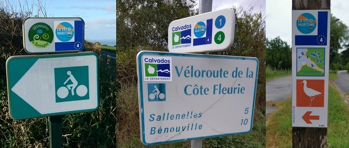
The Vélomaritime route is signposted both ways along throughout the the itinerary (Vélomaritime logo and EuroVelo 4 symbol). Some sections may be waymarked on the ground.

Is a full version of the Vélomaritime guide available in English?
The full version of the guide is only available in French for now.
Do you provide any information documents (maps, itineraries, etc.)?
We do not send any documents by post. All the information we provide is published directly on this website and our social media platforms.
How to find the Vélomaritime tracklogs?
There are several options if you want to download the Vélomaritime tracklogs:
- Download the full version of the Vélomaritime route from Roscoff to Dunkerque in GPX format
- Download the trails you are interested in separately on the trail pages.
- Generate your own GPX tracklog using the route finder or route planner
Can you find your sat nav position on The Vélomaritime® website?
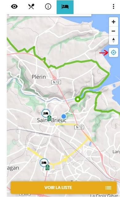
Yes, when you are browsing the website, a window will open asking if you agree to allow the website to access your current location.
If you agree, when you click on the red button (see screen capture) on pages with maps on them (trails, Acueil Vélo bike-friendly services), your position will be accessed.
This will then allow you to see your position in relation to the cycle route and to some services.
How to flag up an issue on the Vélomaritime?
You have encountered difficulties on your route: tree in the way, poor marking, road surface in poor condition... Report them directly using our reporting tool.
