arrow_back
Le Crotoy / Berck La Vélomaritime / EuroVelo 4
Nature and Heritage, Panorama, Patrimoine, Highlight
41,75 Km
2 h 45 min
Beginners/Families
41,75 km cycling route from Le Crotoy to Berck
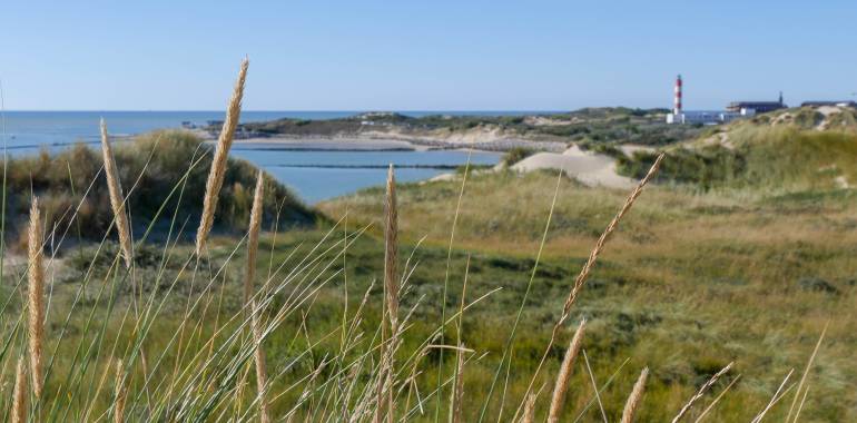
On this Vélomaritime stage, you ride from the Bay of the Somme to the Bay of Authie. Leaving Le Crotoy, enjoy this resort's lovely views over the Somme Estuary before cycling around to the Parc du Marquenterre, a fabulous place for bird-watching, set in the heart of the Réserve Naturelle de la Baie de Somme. This stage then takes you beside northern Europe's largest range of sand dunes, rising between Saint-Quentin-en-Tourmont and Quend Plage. Finally, skirt around the Bay of Authie to reach the resort of Berck-sur-Mer, with its vast, 12km-long beach made of fine sand. Time to consider replacing your bike with a sandyacht!
Elevation of the stage
43 m 45 m
Waytypes of the stage
Cycle path: 34,86 km By road: 6,89 km
Surface of the stage
Smooth: 27,75 km Rough: 0,38 km Unknown: 13,61 km
The route
After Le Crotoy, you travel on a cycle path then dedicated facilities in Saint-Firmin-le-Crotoy. From Saint-Firmin, a new cycle link takes you to the entrance to the Parc du Marquenterre then the trails continue to Conchil-le Temple. You take rural paths and small roads passing through the port of Madelon. After Groffliers, take the cycle paths along the RD 940 to Berck. Be careful when crossing the stations where you will come across a lot of people on foot and scooters.
Connection: to reach Rue station, follow the Avocette route from Saint-Quentin-en-Tourmont.
Link
To reach Rue station, follow the Avocette route from Saint-Quentin-en-Tourmont (6.6 km).
SNCF
- Nearby train stations Chemin de Fer de la Baie de Somme station in Le Crotoy, SNCF station in Rue (7 km from the route)
Accommodation on the stage
Did you like this?
You may also be interested in this...


Travellers’ reviews